Decision intelligencefor India's oceansand agriculture.
We fuse satellite imagery, radar and AI to monitor 7,500 km of coastline and millions of hectares of farmland — surfacing the signals that protect what India depends on.
Global coverage
From orbit to insight. From insight to impact.
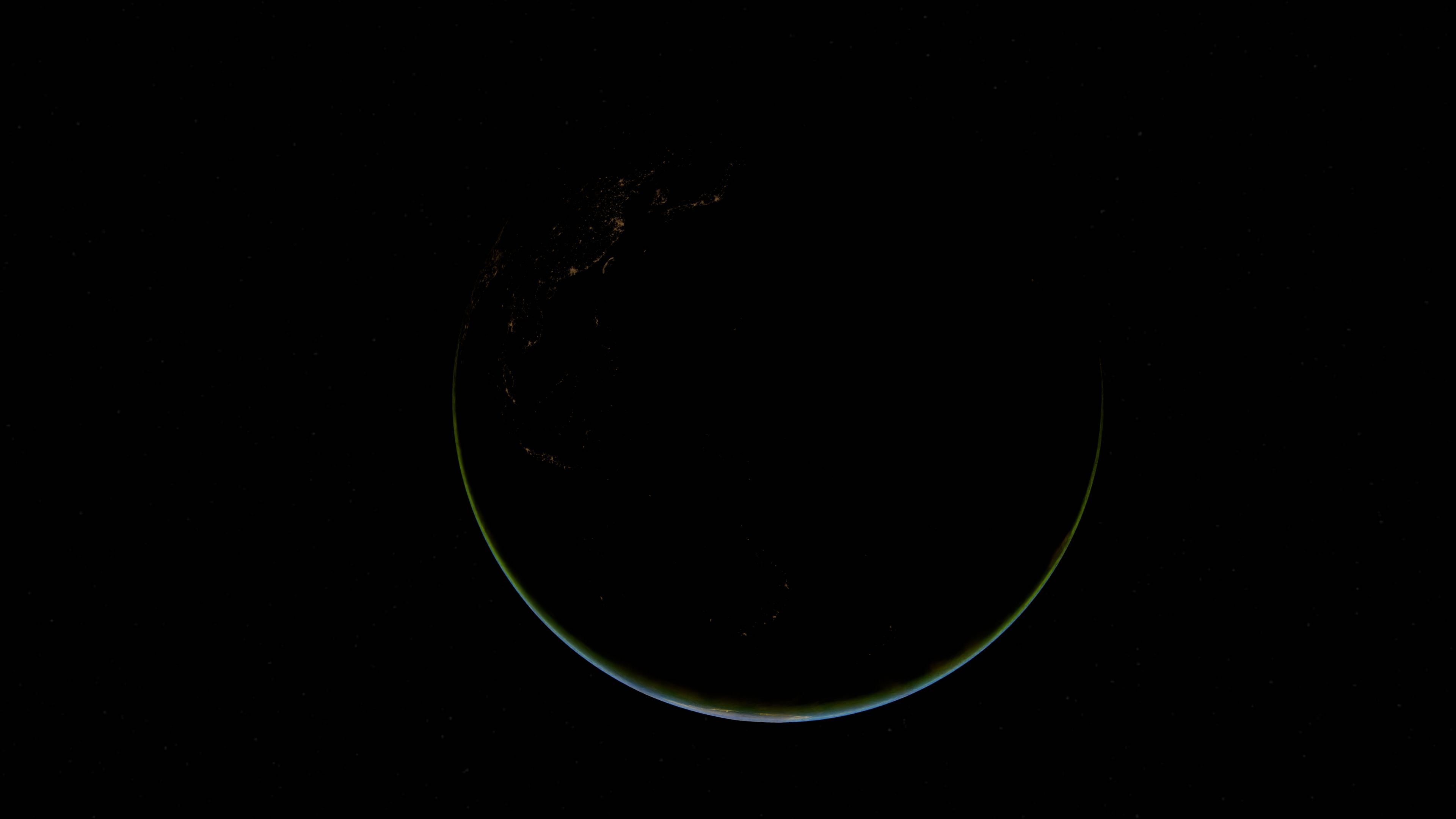
A continuous feed from public and tasked earth-observation missions streams into our platform — an eagle-eye uplink that focuses planet-scale data onto India's coasts and farmland, resolving change from orbit to the metre.
01 — The Platform
A single lens over India's water and land.
Arjuna Space turns a constant stream of earth-observation data into a living operational picture. One platform, two frontiers — the ocean and the field — engineered for analysts, agencies and agri-enterprises.
Multi-sensor fusion
Optical, SAR, thermal and AIS streams unified into one temporal ground-truth layer.
AI change detection
Models flag anomalies — a vanished vessel wake, a stressed crop canopy — within minutes.
Maritime awareness
Persistent watch over India's EEZ: dark vessels, spills, and coastal change.
Agri intelligence
Field-level crop health, soil moisture and yield forecasting at national scale.
Coastline under continuous watch
Farmland monitored across India
Vessels tracked every 24 hours
Median revisit for priority zones

02 — Ocean Intelligence
Guarding 7,500 km of coastline.
From the Arabian Sea to the Bay of Bengal, we watch every wake. Detect dark vessels, illegal fishing and oil spills the moment they appear.

03 — Agri Intelligence
Yield foresight, field by field.
Millions of hectares, resolved to the plot. Track crop health, soil moisture and drought stress, and forecast yields a season ahead.
04 — Live Map
India, in real time.
A live snapshot of active monitoring nodes. Toggle layers to isolate maritime or agricultural signals, and hover any node for its latest reading.
Data layers
ACTIVE NODES 16
Select a node on the map to inspect its latest telemetry.
Ports of India
An eagle's-eye flight, east → west.
Kolkata / Haldia
West Bengal
05 — How it works
From orbit to decision, in three moves.
Capture
A tasked constellation and public missions stream optical, radar and thermal imagery over India every orbit — day, night, and through cloud.

Model
Our AI pipeline calibrates, aligns and interprets each frame — detecting vessels, classifying crops, and measuring change against a temporal baseline.

Decide
Signals become alerts, dashboards and API feeds — delivered to coast guards, agencies and agri-enterprises in time to act.

06 — Pricing
Plans that scale with your mission.
Start small on a single region, or deploy planet-scale intelligence across your entire operation. All plans include the live map and anomaly feed.
Starter
Focused monitoring of a single coastline or crop belt.
- 1 monitoring region
- Ocean OR Agriculture layer
- Daily satellite refresh
- Email anomaly alerts
- Standard support
Pro
Full ocean + agriculture intelligence with alerts and API.
- Up to 10 monitoring regions
- Ocean + Agriculture layers
- Sub-30 min priority revisit
- Real-time alerts + API access
- Dashboard & data export
- Priority support
Enterprise
Dedicated tasking, on-prem options and SLAs for agencies.
- Unlimited regions & users
- Dedicated satellite tasking
- Custom AI models & SLAs
- On-prem / VPC deployment
- Named solutions engineer
Secure checkout by Stripe · Test mode · Cancel anytime
07 — Get Started
Request a demo.
Tell us where you operate — coast, field, or command centre — and we'll tailor a walkthrough of the intelligence layers that matter to you.
→ Response within one business day
→ Live map & sample data access
→ No commitment required